Lot 362
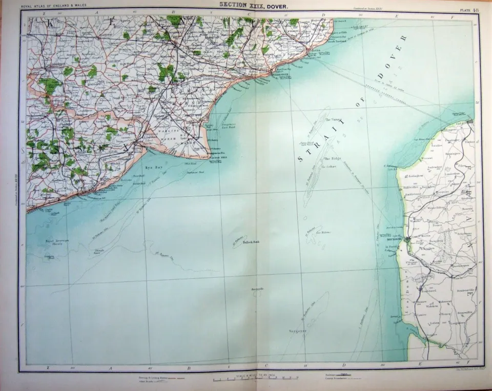
Victorian 1897 Large Map Dover Folkestone Hastings French Coast Etc.
Collectables
This lot has ended
9 Mar 2023 · No Reserve Antique Maps - Classical Atlas 1809- Francis Grose 1783- Ireland 1777- John Cary 1791. WG Blackie 1882- E Bowen Britannia 1730 - Plus Lots More.
Description
More from this auction
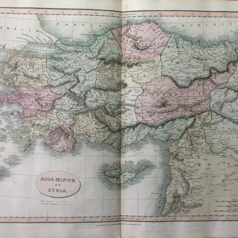
Ancient Asia Minor et Syria Charles Smith Classical Map 1809.
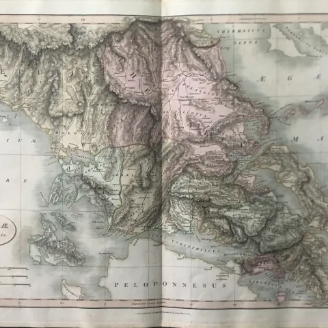
Ancient Greece Pars Borealis Charles Smith Classical Atlas Map 1809.

Ancient Greece Pars Peloponnesus Smiths Classical Atlas Map 1809.
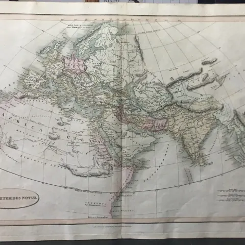
Rare Ancient World on a Polar Projection Smiths Classical Map 1809.

Ancient Region of Persia Charles Smith Classical Map 1809.

Libyae, vel Africae Libya & North Africa Charles Smith Classical Map 1809.
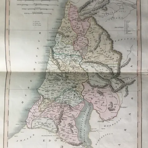
Ancient Region of Palestine Charles Smith Classical Map 1809.

Ancient Italia Et Sicilia Italy Rare Smiths Classical Atlas Map 1809.
Get Collectables auction alerts
Be first to know when new collectables lots come up at William George. No spam — unsubscribe anytime.