
Lot 479
England & Wales Northern Area Double Sided Antique 1896 Map.
Collectables
Sold for
£10.00
Sold 4 May 2023 · No Reserve Antique Engravings/Prints – Thomas Moule 1850 Maps- Astronomy-Steam Trains Collectables
This lot has ended. See current lots below.
Description
This Double-Sided Map Has Been Removed From an.
1896 Edition Handy Reference Atlas by J. G. Bartholomew.
Approximate Size of the Map 8.5 x 7.5 (Inches) 216 x 190.5 (mm)
This is an Antique 127-Year-Old Map and as Such is Likely to Have Some.
Age-Related Wear, Marks, Discolouration, Spotting, light Creasing.
Please Study the Image carefully to establish your own view of condition Prior to Bidding.
This Beautiful Old Historical Map Would Look Great Matted and Framed.
More from this auction
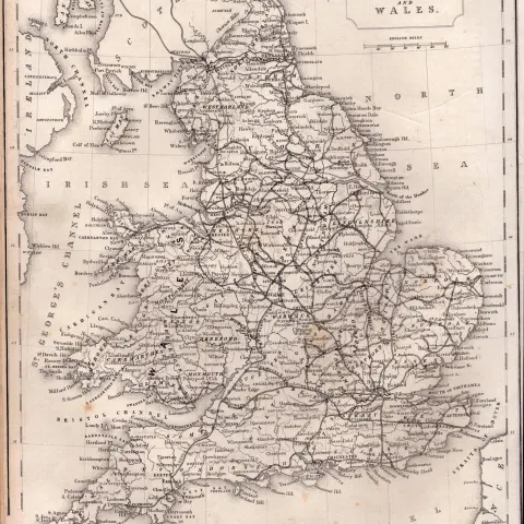
England & Wales Steel Engraved Victorian Thomas Moule Map.

Bedfordshire Steel Engraved Victorian Thomas Moule Map.
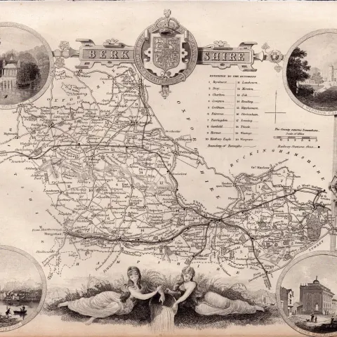
Berkshire Steel Engraved Victorian Thomas Moule Antique Map.

Buckinghamshire Steel Engraved Victorian Thomas Moule Map.
Sold for £16.00

Cambridgeshire Steel Engraved Victorian Thomas Moule Antique Map.

Cheshire Steel Engraved Victorian Thomas Moule Antique Map.

Cumbria & Lake District Steel Engraved Victorian Thomas Moule Map.

Derbyshire Steel Engraved Victorian Thomas Moule Antique Map.
Sold for £20.00
Get Collectables auction alerts
Be first to know when new collectables lots come up at William George. No spam — unsubscribe anytime.