
Lot 381
Cheshire Steel Engraved Victorian Antique Thomas Moule Map.
Collectables
This lot has ended
21 Sep 2023 · No Reserve- Antique Maps & Prints- John Cary 1794 & 1791- F Grose 1783- Moule 1850- Nostalgic Transport Metal Art- Mods Wall Art- Ireland History Black & Tans- Mounted London Maps- Plus Lots More
Description
This Unique Map Was Removed from An Edition of
A Complete and Universal Dictionary by the Rev James Barclay c1850.
Published by George Virtue, 26, Ivy Lane, Paternoster Row London.
Thomas Moule (1784-1851) Worked in London Where He produced a Collection of Very Decorative Steel Engraved Maps.
He Will Be Remembered as one of the Most Accomplished Creators of Maps of the 19th Century.
Moules Maps Were Some of the last Highly Decorative Maps Published in the 19th Century.
Approximate Size of the Print 10.5 X 8.5 (Inches) 266.7 x 215.9 (mm).
Please Study the Image to Establish Your Own View of Condition Prior to Bidding.
This Beautiful Old Historical Map Would Look Great Matted and Framed.
More from this auction
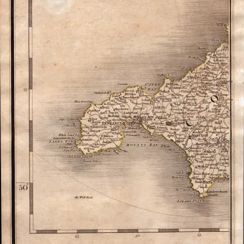
Penzance, St Ives, Redruth, Lands’ End, John Cary’s Antique 1794 Map.
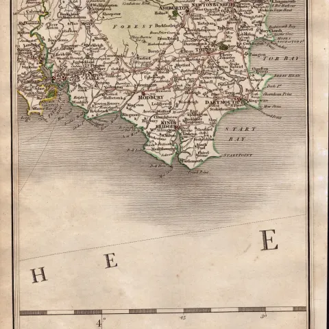
South Devon Torbay Brixham Paignton John Cary’s Antique 1794 Map.
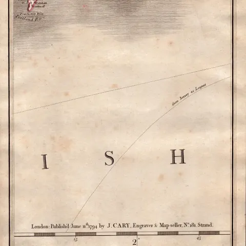
Dorset Coast Weymouth Portland John Cary's Antique George III 1794 Map.
Isle Of Wright St Lawrence Niton Chale John Cary's Map of 1794.
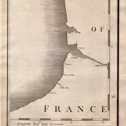
Northern France Coastline John Cary's Antique George III 1794 Map.

Scilly Isles St Martins, St Marys, John Cary's Antique George III 1794 Map.
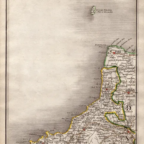
Lundy Island Camelford Launceston- John Cary's Antique 1794 Map.

Devonshire, Somersetshire, John Cary’s Antique George III 1794 Map.
Get Collectables auction alerts
Be first to know when new collectables lots come up at William George. No spam — unsubscribe anytime.