Lot 546
India & Adjacent Countries Antique Detailed Coloured Map.
Collectables
This lot has ended
8 Feb 2024 · No Reserve - Antique Maps – Atlases- Prints - Metal Wall Art – Collectable Coin Sets- Railway Diagrams -F Grose Illustrations-Book Plates – Cecil Aldin - Plus Lots More
Description
More from this auction
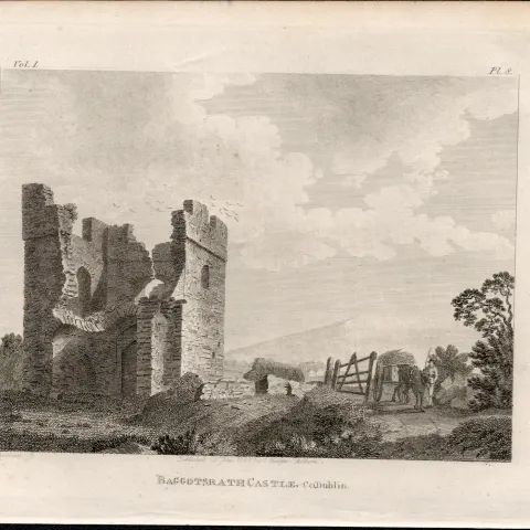
Baggotstrath Castle Baggot St Dublin F Grose 1792 Antique Copper Block Engraving
Sold for £10.00
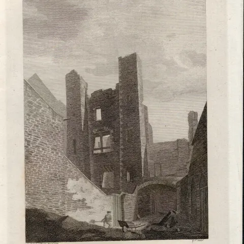
Browns Castle Black Dog Prison Dublin F. Grose 1792 Antique Copper Block Engraving.
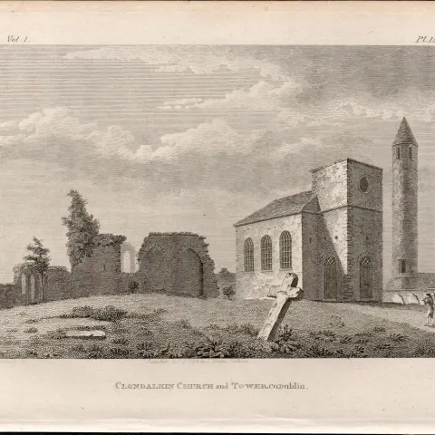
Clondalkin Church &Tower Dublin F. Grose 1792 Antique Copper Block Engraving.
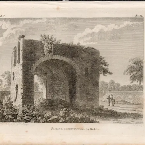
Simons Court Tower Donnybrook Dublin F. Grose 1792 Antique Copper Block Engraving.
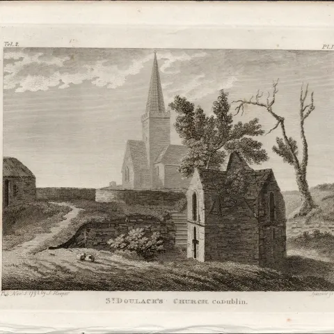
St Doulachs Church Co Dublin F. Grose 1792 Antique Copper Block Engraving.
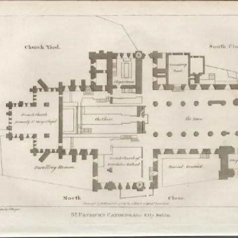
St Patricks Cathedral Plan Dublin F. Grose 1792 Antique Copper Block Engraving.
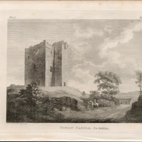
Timon Castle Co Dublin F. Grose 1791 Antique Copper Block Engraving.
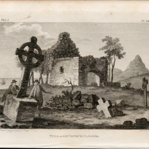
Tullaght Church Tallaght Dublin F. Grose 1792 Antique Copper Block Engraving.
Get Collectables auction alerts
Be first to know when new collectables lots come up at William George. No spam — unsubscribe anytime.