Lot 677
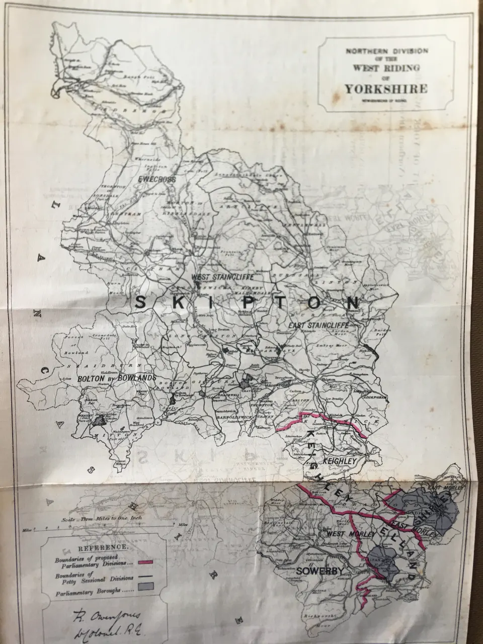
Antique 139 Years-Old Scarce Map North West Riding Yorkshire 1885 Boundary Changes.
Collectables
This lot has ended
20 Feb 2025 · No Reserve | British Boundary Maps 1868 | Audubon Birds of America | Antique Railway Station Routes | Job lots of Irish Maps 1777 | Memorabilia | Plus lots more
Description
More from this auction

Dover & District Boundary Commission 157-Year-Old Large Antique Map.

Devonshire Boundary Commission 157-Year-Old Large Coloured Antique Map.

Wareham Dorset Boundary Commission 157-Year-Old Large Antique Map.

Somersetshire Boundary Commission 157-Year-Old Large Antique Map.

County Essex Boundary Commission 157-Year-Old Large Antique Map.

County Norfolk Boundary Commission 157-Year-Old Large Antique Map.

North Lancashire Boundary Commission 157-Year-Old Large Antique Map.

Ashton Under Lyne Manchester Boundary Commission 157-Year-Old Large Antique Map.
Get Collectables auction alerts
Be first to know when new collectables lots come up at William George. No spam — unsubscribe anytime.