Lot 597
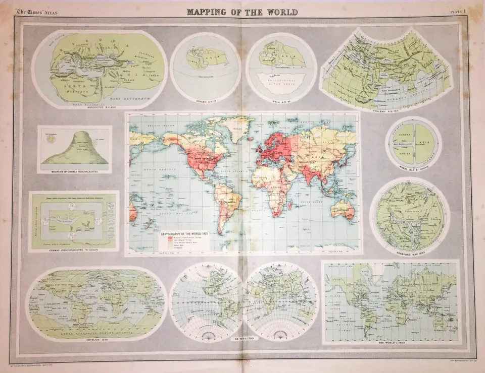
Antique John Bartholomew The Mapping of the World Large Large Map.
Collectables
This lot has ended
1 May 2025 · No Reserve Antique Railway Maps | Wilsons Birds | Animals & Bird Prints | 1868 British County Maps | Bound ILN Newspapers + More
Description
More from this auction

London Guildford Boundary Commission 157-Year-Old Coloured Scarce Antique Map.

London Southwark Boundary Commission 157-Year-Old Coloured Antique Map.
Sold for £12.00

Scarborough Yorkshire Boundary Commission Coloured 157-Year-Old Antique Map.

York Yorkshire Boundary Commission 157-Year-Old Coloured Scarce Antique Map.

Richmond Yorkshire Boundary Commission Coloured 157-Year-Old Antique Map.

Huddersfield Yorkshire Boundary Commission 157-Year-Old Coloured Antique Map.

Beverley Yorkshire Boundary Commission Coloured 157-Year-Old Antique Map.

Dewsbury Yorkshire Boundary Commission 157-Year-Old Scarce Antique Map.
Get Collectables auction alerts
Be first to know when new collectables lots come up at William George. No spam — unsubscribe anytime.