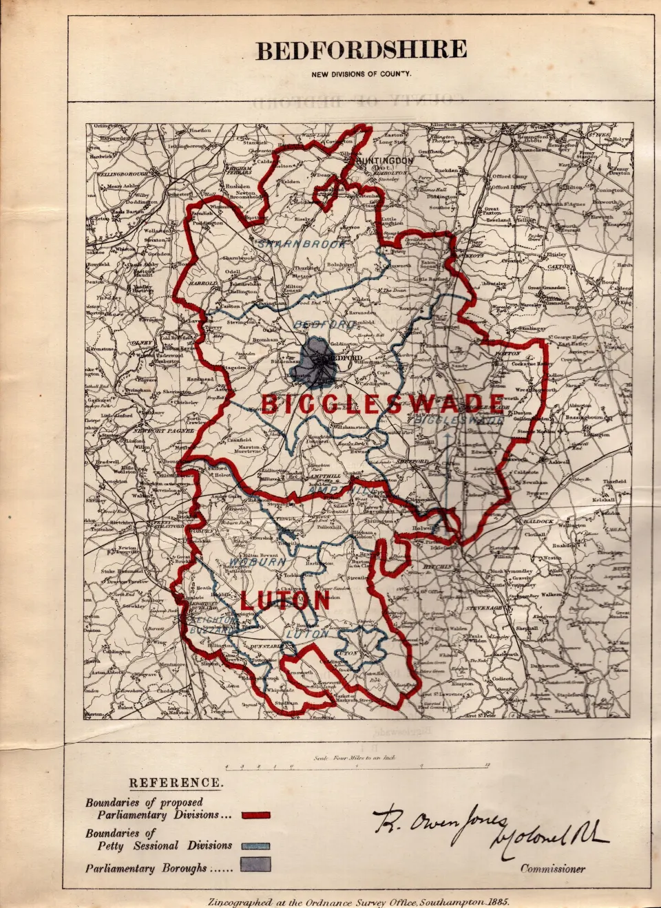
Lot 479
Antique 139 Years-Old Scarce Map of Bedfordshire Boundary Changes 1885.
Collectables
This lot has ended
12 Jun 2025 · No Reserve Johnathan Couch Antique Fish – Victorian UK Boundary Maps – Antique Railway Maps- Ireland 1777- Job-Lots Birds, Insects, Butterflies Plus Lots More.
Description
More from this auction
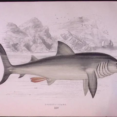
Basking Shark Scarce Antique 1877 J. Couch Woodblock Engraving-1
Sold for £10.00
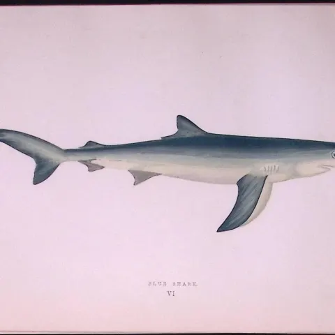
Blue Shark Scarce Antique 1877 Johnathan Couch Woodblock Engraving-2
Sold for £10.00
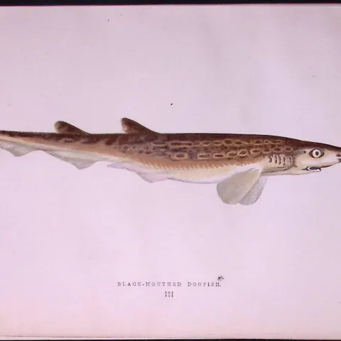
Black-Mouthed Dogfish Scarce Antique 1877 J. Couch Woodblock Engraving-3
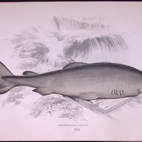
Greenland Shark Scarce Antique 1877 J. Couch Woodblock Engraving-4
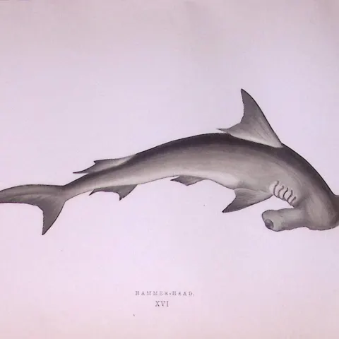
Hammerhead Shark Scarce Antique 1877 J. Couch Woodblock Engraving-5
Sold for £10.00
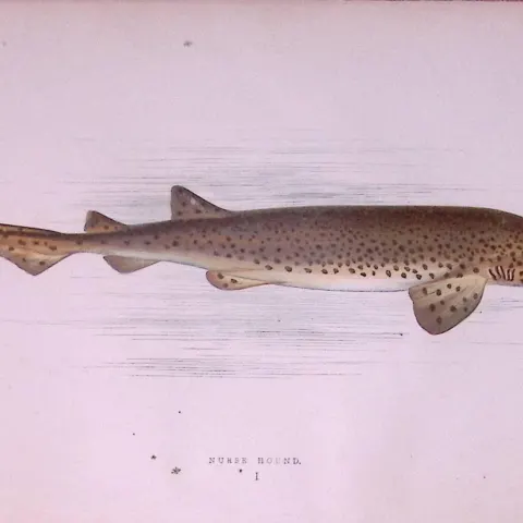
Nurse Hound Shark Scarce Antique 1877 J. Couch Woodblock Engraving-6
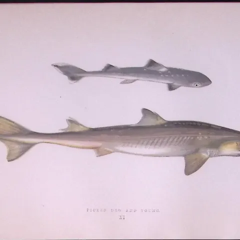
Pickled Dog Shark Scarce Antique 1877 J. Couch Woodblock Engraving-7
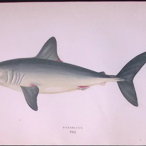
Porbeagle Shark Scarce Antique 1877 J. Couch Woodblock Engraving-8
Sold for £10.00
Get Collectables auction alerts
Be first to know when new collectables lots come up at William George. No spam — unsubscribe anytime.