
Lot 454
Isle of Man, Douglas Port Iron, Kirk Santon, John Cary’s Antique 1794 Map-47
Collectables
This lot has ended
11 Sep 2025 · No Reserve | Antique Prints & Maps |Rev Houghton 1879 Fish | Cecil Aldin Zoo Babies | WW1 Newspapers & Maps | Steel Engravings Britain Plus More
Description
Measures approximately 12 x 9 (Inches) 304.8 x 228.6 (mm).
Cary's New Map of England and Wales It has significant detail of place names and roads.
On which are carefully laid down All the Direct and Principal Cross Roads.
The Course of the Rivers and Navigable Canals, Cities, Market and Borough Towns.
Parishes, and most considerable Hamlets, Parks Forests.
Delineated from Actual Surveys and materially assisted from authentic documents liberally supplied by the Right Honourable the Post Masters General', London, 1794.
Condition Good for a 230-Year-Old Antique with Age Toning Slight Foxing, Handling Marks
Please study all the photographs carefully to fully appreciate the condition
More from this auction
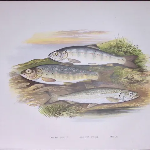
Salmon Parr & Young Trout Rev Houghton British Freshwater Fish 1879 Scarce Engraving-5
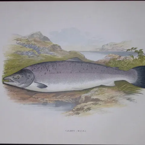
Salmon (Male) Rev Houghton British Freshwater Fish 1879 Scarce Wood Engraving-23
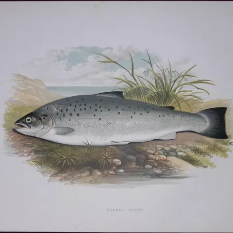
Salmon Trout Rev Houghton British Freshwater Fish 1879 Scarce Wood Engraving-22
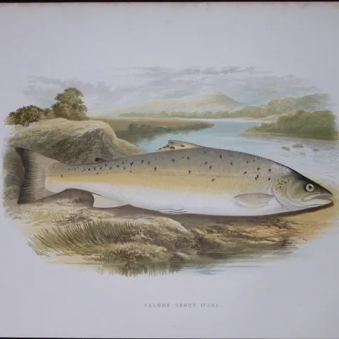
Salmon Trout (Var) Rev Houghton British Freshwater Fish 1879 Scarce Wood Engraving-21
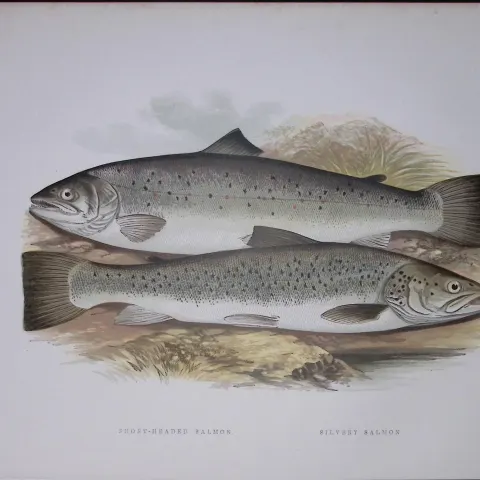
Short Headed Salmon Rev Houghton British Freshwater Fish 1879 Scarce Wood Engraving-17
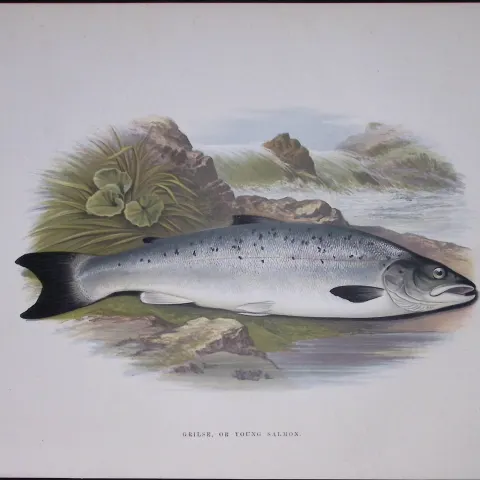
Young Salmon Rev Houghton British Freshwater Fish 1879 Scarce Wood Engraving.14
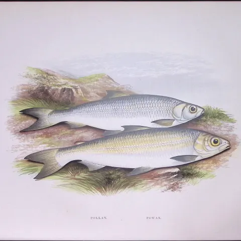
Pollan & Powan Rev Houghton British Freshwater Fish 1879 Scarce Engraving-6
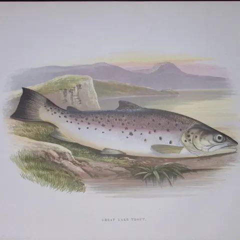
Great Lake Trout Rev Houghton British Freshwater Fish 1879 Scarce Engraving-11
Get Collectables auction alerts
Be first to know when new collectables lots come up at William George. No spam — unsubscribe anytime.