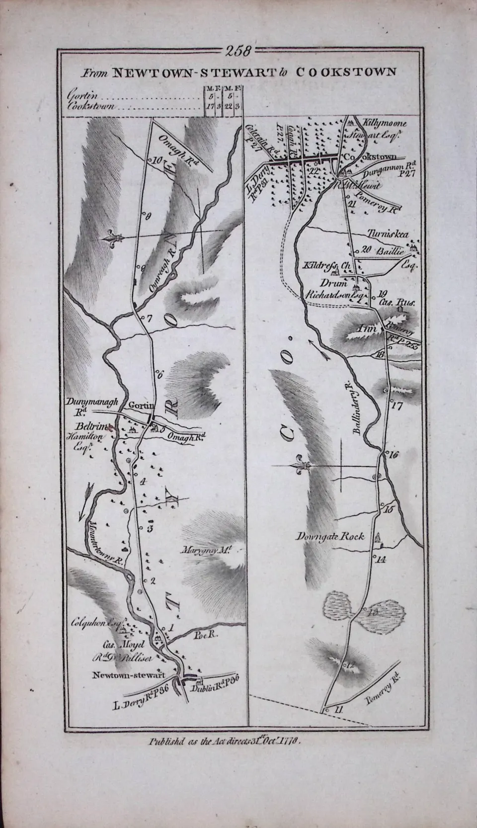
Lot 446
Ireland 245 Years -Old Antique Road Map Newtonstewart, Cookstown-258
Collectables
This lot has ended
21 May 2026 · No Reserve | Antique Maps & Prints | JM Turner | Railway-Birds | Fish | Mammals | Scotland | Cecil Aldin | 1777 Irish Maps | Irish History | Guinness Prints | Plus Lots More
Description
Taylor & Skinners 1777 Roads of Ireland Surveyed Published in 1778.
During The Reign of King George III 1760-1820.
This Double-Sided Map is 245 Years Old and Are Difficult to Obtain and Highly Collectable.
Each Map has Been Scanned Back-to-Back Showing the Item you will be Receiving.
Dimensions are approx. 9.8 x 5.7 (Inches) 249 x 145 (mm).
Virtually all Antiquarian Maps & Prints are Subject to Some.
Age-Related Wear, Marks, Discolouration, Spotting, Creasing Tears Little Rips Etc.
Please Study the Image to Establish Your Own View of Contents & Condition Prior to Bidding.
This Antique Irish Map Would Look Great Framed & Mounted
More from this auction

County Norfolk Boundary Commission 157-Year-Old Large Antique Map.
Sold for £10.00
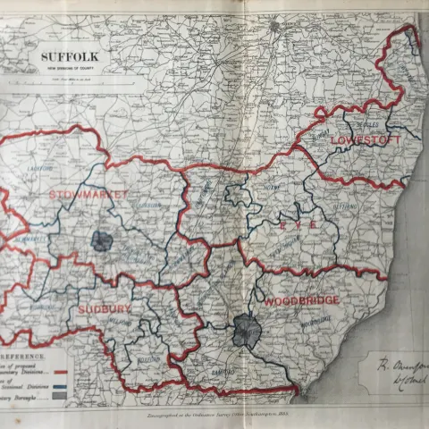
Antique 139 Years-Old Scarce Map County Suffolk 1885 Boundary Changes.
Sold for £10.00

Lewes Sussex Boundary Commission 157-Year-Old Coloured Antique Map.
Sold for £10.00
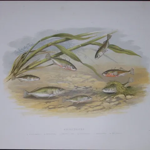
Stickleback Family Rev Houghton British Freshwater Fish 1879 Scarce Engraving-39
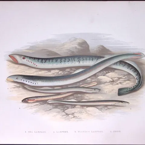
Species of Sea Lampreys Rev Houghton British Freshwater Fish 1879 Scarce Wood Engraving.1
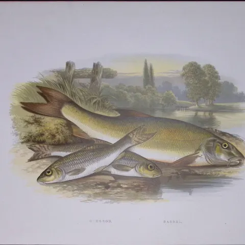
Gudgeon & Barbel Rev Houghton British Freshwater Fish 1879 Scarce Engraving-35
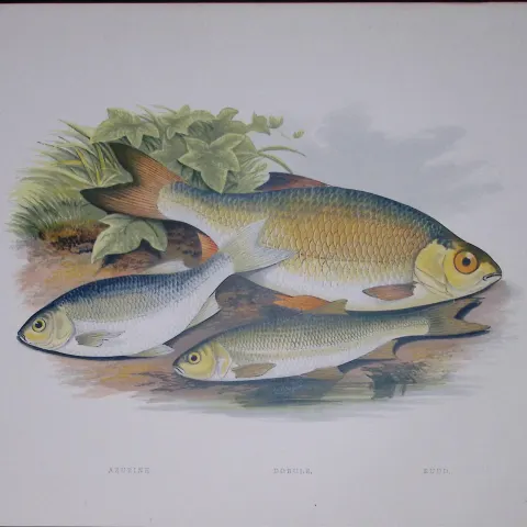
Azurine, Dobule, Rudd Rev Houghton British Freshwater Fish 1879 Scarce Engraving-31
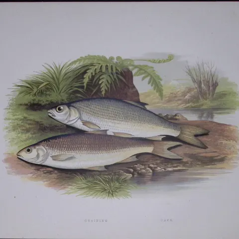
Graining, Dace Rev Houghton British Freshwater Fish 1879 Scarce Engraving-32
Get Collectables auction alerts
Be first to know when new collectables lots come up at William George. No spam — unsubscribe anytime.