
Lot 162
Philip's Popular Map of Central Africa - Anglo-German Agreement June 1890 - G. Philip & Son London
Collectables
This lot has ended
4 Jan 2023 · Art, Antiques, Jewellery & Collectables | Collective Auction | Closes for Entries Sunday 18th December
Description
George Philip & Son London & Liverpool
(Item will be posted from Ireland - EU)
Map of Central Africa showing the colour coded boundaries of the various colonial powers of British, German, Portuguese, French, Italian & Spanish.
Also showing the route taken by the famous Victorian explorer Henry Morton Stanley, famous for his exploration of Central Africa and his search for missionary and explorer David Livingstone.
Condition: Good - slight handling marks - fold lines now strengthened with archive quality tape to the reverse - a few brown marks to the back which can not be seen from the front - minor chipping to some edges to the sheet - see all images.
Dimensions:
Sheet - 27 1/2" wide x 21" high
Map to outer margins - 16 1/4" wide x 19 7/8" high
A rare map of Central Africa from 1890 which displays well and will be a great addition to any collection.
Worldwide tracked delivery included in price.
More from this auction

Exceptional Diamond Dress / Coctail Ring 9ct Gold - Impressive 0.30ct Diamond Weight

Excellent 18ct White Gold 1CT Diamond Ring with Certified VVS1 Princess Cut Stone

Victorian Nursing Chair with 2 stools, actual age unknown

Sculpteur et group sculptorique
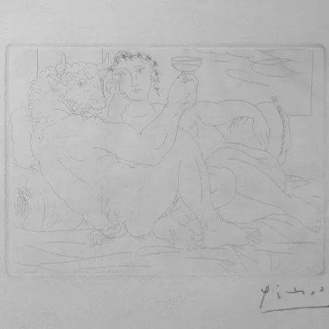
Minotaure avec une coupe de champagne

Minolta 7000 Camera 28-200mm & Sigma Zoom Minolta 2800 Program Flash
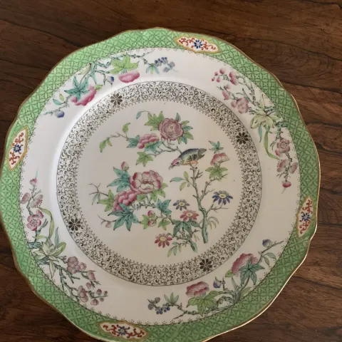
Rare c1836 Felspar Porcelain Fruit/Dessert Plates and Two Serving Compotes

19th Century Mandalay Burmese Nobleman In Meditation
Get Collectables auction alerts
Be first to know when new collectables lots come up at William George. No spam — unsubscribe anytime.